Field note · 2 March 2026
What contour spacing can say on a Bangkok lot
Bangkok lots punish mountain habits. A contour interval copied from a hill survey will sit on this city like a rumor. The interval has to be small, and even then it only describes shape.
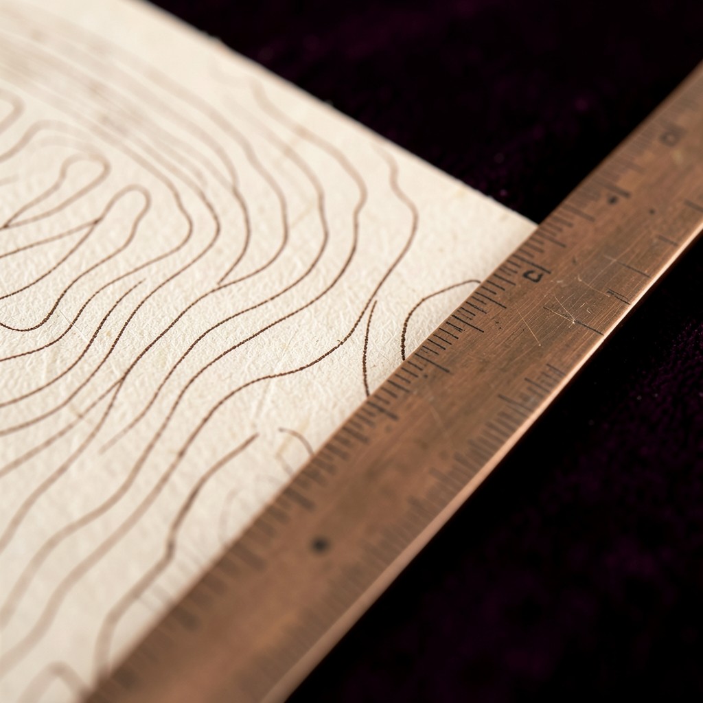
A client once brought a print on which the contour interval was ten metres. The lot in Bang Khen rose, by our later level notes, less than a metre from the soi to the back fence. Every meaningful bend of the ground had vanished between two lines that never met the site. The print was not false about a mountain range. It was silent about the only ground that mattered.
Half a metre, walked
On a standard place study the ground plate uses a half-metre interval, sometimes tighter if a threshold or a drain is the actual question. The points come from a short level run tied to a mark we describe in the caption — a step, a culvert crown, a nail we set and photograph — not from a national grid spoken of as if we had occupied it for a week. The limits of that choice are written on the sheet. A builder who needs a construction benchmark still hires the person who certifies benchmarks.
Tight lines near a soi are a common trap. On former rice land they often trace an old bund or a filled ditch, not a hillock someone should trust with a foundation story. We hatch those belts and name them as shape, not as soil. Bearing, shrink, and the behavior of fill are outside the plate. Saying so in the finding is part of the drawing, not a footnote we hope nobody reads.
The bund behind the mango
In February we walked a lot where the family was sure the back third sloped to the lane. The levels showed a low ridge about four metres in from the rear fence, then a gentle fall the other way toward a neighbor’s wall. The ridge was a bund, planted later with a mango that made it look intentional and permanent. The plate drew the ridge as a narrow closed form. The finding said: this is leftover field structure, and it tells you where water will hesitate; it does not tell you what the ground is made of.
That is as far as geospatial analytics should travel when the instrument is a level, a tape, and a pair of afternoons. Anyone who needs the next sentence — what to pour, what to excavate — is already in a different trade. We would rather hand them a sheet that stops in the right place than a smoother sheet that borrows authority it did not earn.